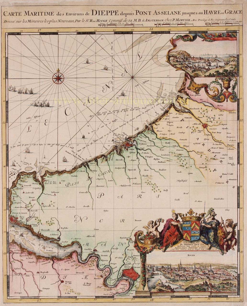
Scroll to zoom, click for slideshow
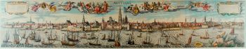
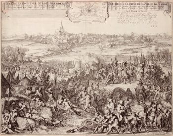
Normandy and Picardy - Romeijn de Hooghe, Pieter Mortier, 1693 1693
Romeijn de Hooghe
62 ⨯ 50 cm
€ 2.150
Inter-Antiquariaat Mefferdt & De Jonge
Sind Sie daran interessiert, dieses Kunstwerk zu kaufen?
Related artworks


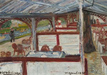

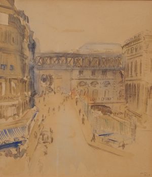
Bob Buys
Paris, Gare de L'Est, Passerelle de la Rue d'Alsace1940 - 1950
Preis auf AnfrageAdelwein Kunst


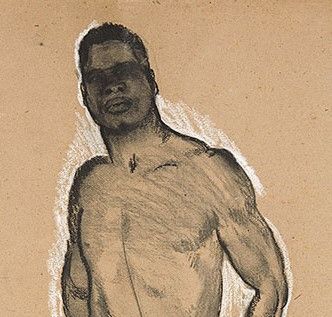
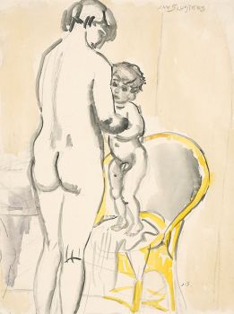
Jan Sluijters
Greet met Jantje, Moeder met kind, naakt op een stoel staand1900 - 1940
Preis auf AnfrageStudio 2000 Art Gallery

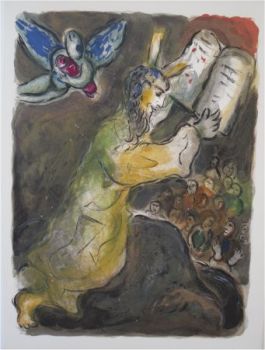
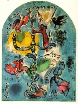
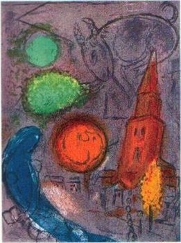
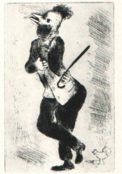
Marc Chagall
These are the the wordes which the Lorde hath commanded that ye should do them1952 - 1980
Preis auf AnfrageArthouse Marc Chagall


![European hunting party] by Unbekannter Künstler](https://media-2.gallerease.com/images/cb8cbebf-7709-4817-9bdb-fef8ae1e93cf/350x350/european-hunting-party.jpg)